Chapter 1: The Dramatic Transition from Savanna Heat to Montane Mist
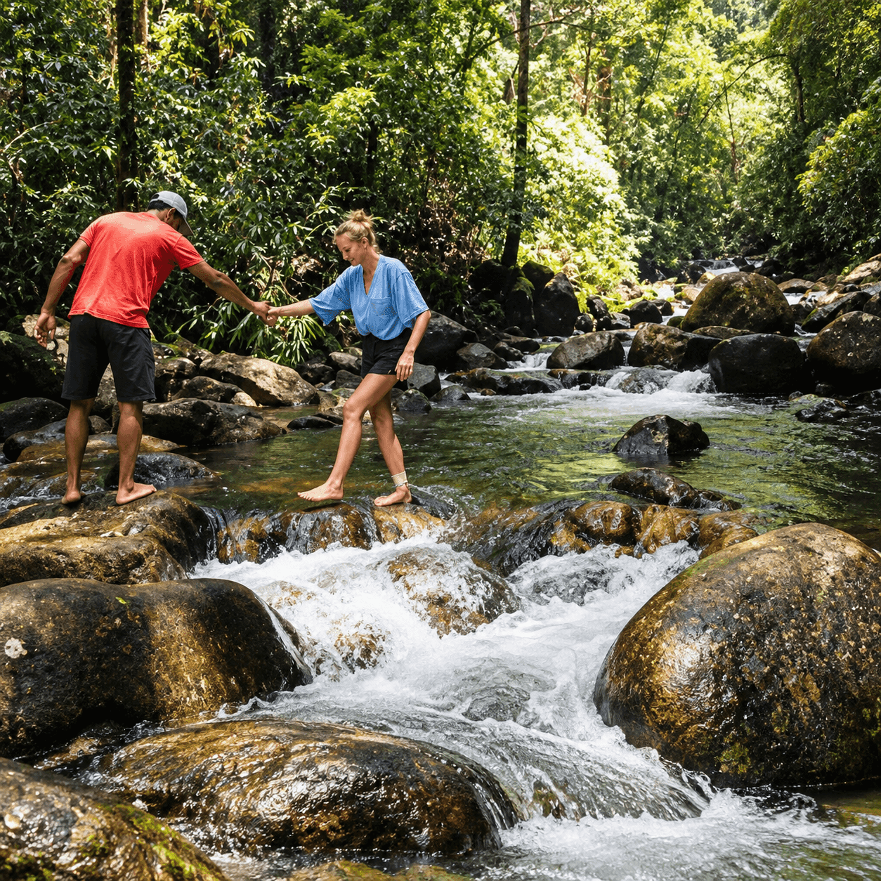
Few geographical journeys on the island of Sri Lanka offer a more breathtaking contrast in scenery and climate than the ascent from the sun-drenched dry-zone savannas of Udawalawe up to the misty cloud-forested heights of Suriyakanda. Within a single hour of driving northwards through the scenic Rakwana pass, the ambient temperature plummets by more than ten degrees Celsius. The dusty scrublands, thorn thickets, and acacia trees of the lowlands give way to sweeping emerald carpeted valleys of Ceylon tea, cascading roadside mountain waterfalls, and towering granite ridges veiled in perpetual swirling mist.
Suriyakanda, which translates poetically from Sinhala as the "Mountain of the Sun," sits perched at an impressive elevation of 1,050 meters (3,445 feet) above sea level along the southern edge of the Sabaragamuwa mountain range. Serving as the dramatic geographical frontier where the central highlands terminate abruptly above the southern maritime plains, Suriyakanda offers travelers an unforgettable alpine retreat. For visitors who have spent several days tracking wild elephant herds under the relentless dry-zone sun of Udawalawe, this misty mountain paradise represents the ultimate refreshing detour.
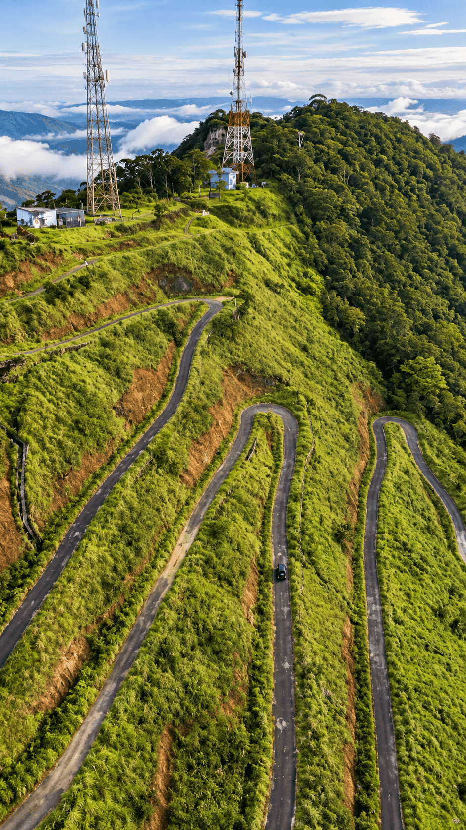
As your vehicle negotiates the famous ten hairpin bends of the *Dahasgala* pass, every turn unfolds a new vista. The crisp mountain air rushing through open windows carries the invigorating, clean scent of crushed eucalyptus leaves, mountain moss, and fresh tea blossoms. Below you, the vast southern plain stretches outward like a green and golden ocean, punctuated by the gleaming silver mirror of the Udawalawe reservoir reflecting the tropical sky.
The acoustic environment undergoes an equally startling transformation. Gone is the dry buzzing of savanna cicadas and the distant growl of safari jeep engines. In their place is the deep, rushing roar of mountain torrents tumbling through granitic gullies, the wind rustling through towering silver oak trees, and the high-pitched musical whistles of endemic highland birds echoing through the swirling vapors of the cloud line.
Chapter 2: The Geological Anatomy of the Rakwana Escarpment & Gongala Peak
The mountainous terrain of Suriyakanda is formed by one of the most violent geological boundaries on the island: the Rakwana Horst. While the central mass of Sri Lanka's mountains forms a contiguous high plateau around Nuwara Eliya and Horton Plains, the Rakwana-Suriyakanda range stands as a distinct, semi-isolated massif separated from the main highlands by the deep structural trench of the Kalu Ganga and Walawe river valleys.
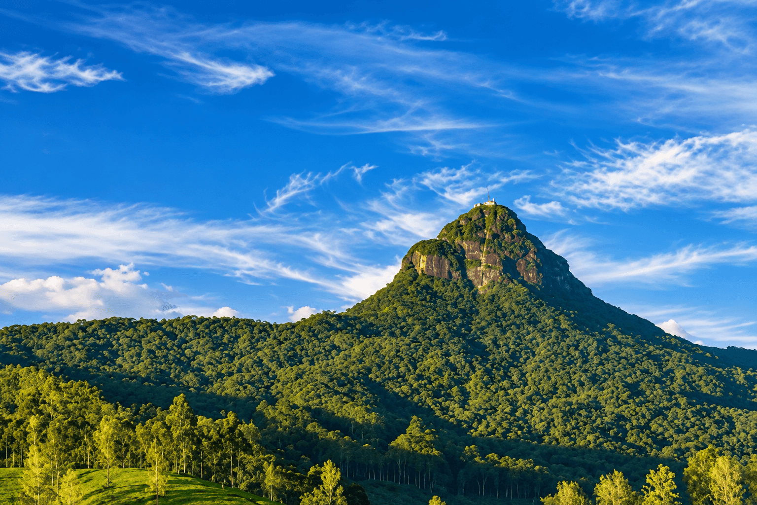
Rising above the town of Suriyakanda is Gongala Peak, towering at 1,358 meters (4,455 feet) above sea level. This knife-edge granite ridge forms the highest elevation in the southern mountain block. From the summit of Gongala, the panoramic drop-off is dizzying. Looking south on a crystal-clear dawn, your eyes can trace the entire lower peneplain: the shimmering waters of the Chandrika Wewa, the vast expanse of Udawalawe National Park, the distant contours of Hambantota, and on exceptional mornings, the faint blue glint of the Indian Ocean forty miles away.
Geologically, this sheer precipice represents an active erosion scarp where the hard charnockite and granitic gneiss bedrock has resisted millions of years of monsoonal weathering. The dramatic vertical relief creates intense orographic rainfall when moisture-laden winds from the southwest monsoon strike the mountain wall, dumping over 4,000 millimeters of rain annually and feeding the subterranean headwaters of the Walawe River.
The rock formations across the summit display intricate tectonic banding, folding, and quartz veins that tell the story of ancient Gondwana supercontinent collisions hundreds of millions of years ago. Weathered tors and balancing granite boulders perch precariously along the ridges, sculpted by relentless mountain winds and monsoonal deluges into evocative natural sculptures that ignite the imagination.
Chapter 3: The Eastern Gateway to Sinharaja & Morningside Cloud Forests
One of Suriyakanda's most profound ecological distinctions is its status as the eastern gateway to the Sinharaja Forest Reserve, a UNESCO World Heritage Site and Biosphere Reserve. While the vast majority of tourists access Sinharaja via its western entrance at Kudawa (near Kalawana), the eastern sector accessible from Suriyakanda—known historically as "Morningside"—represents an entirely distinct ecological zone: an endangered tropical montane cloud forest.
Unlike the lowland dipterocarp rainforest found at Kudawa, the high-altitude cloud forest of Morningside is characterized by gnarled, stunted trees draped in thick cloaks of hanging mosses, liverworts, lichens, and miniature epiphytic orchids. The forest canopy is bathed in cloud condensation for more than two hundred days each year, creating an ethereal, primeval wonderland that feels entirely disconnected from the modern world.
Because Morningside is geographically isolated from the main central plateau, it harbors an extraordinary concentration of point-endemic species that exist nowhere else on planet Earth. Biologists have documented hyper-rare amphibians such as the Morningside shrub frog (Pseudophilautus amabilis), the whistling frog (Pseudophilautus cavirostris), and the endangered rough-nosed horned lizard (Ceratophora aspera) clinging to moss-covered tree trunks in this humid highland sanctuary.
The ground layer of the cloud forest is equally mesmerizing, carpeted with rare medicinal herbs, miniature terrestrial orchids, and club mosses that thrive in the continuous humidity. Giant tree ferns (Cyathea species) unfurl their primitive fiddleheads against the gray mist, creating an atmosphere reminiscent of the Jurassic era. Walking along the narrow scientific research trails here requires silence and mindfulness, rewarding the patient traveler with glimpses of some of the rarest biological treasures in Asia.
Chapter 4: Highland Epiphytes, Mossy Forests & Cloud Water Harvesting Ecology
The high ridges of Suriyakanda and Gongala participate in a fascinating meteorological process known as horizontal precipitation or "occult deposition." Even during periods when no overhead rain falls, the dense montane clouds sweeping across the ridge deposit immense volumes of water droplets directly onto the leaves, hanging mosses, and epiphytic bromeliads. Studies by tropical forest ecologists indicate that occult precipitation can contribute up to twenty-five percent of the total hydrological input in this fragile cloud forest ecosystem.
Every square meter of tree bark in the upper canopy is blanketed by thick carpets of bryophytes, club mosses (Lycopodiella cernua), and ancient ferns. Among these micro-habitats live microscopic tardigrades, endemic land snails, and thumbnail-sized tree frogs that never descend to the ground, obtaining all their hydration from water droplets trapped in moss pillows. Protecting these misty summits from deforestation is critical: without the sponge-like action of the montane cloud forest, monsoonal flash floods would devastate the tea valleys below, and the perennial streamflows that replenish the Udawalawe reservoir during dry seasons would permanently dwindle.
The canopy structure in these high-altitude cloud forests is significantly shorter and more compact than in lowland rainforests, a phenomenon botanists refer to as "elfin forest" or *Krummholz*. Trees such as Syzygium (wild mountain myrtle) and Calophyllum develop dense, interlocking branch systems that resist the ferocious mechanical buffeting of southwest monsoon gales. Their thick, leathery leaves (*sclerophyllous* foliage) prevent excessive transpiration during the occasional dry, windy days when the mist burns off under the tropical sun.
Chapter 5: The Serene World of High-Altitude Ceylon Tea Estates
Suriyakanda is enveloped by some of the most dramatic and picturesque tea plantations in Sabaragamuwa. Unlike the vast rolling plains of Up-Country tea in Nuwara Eliya, the tea estates of Suriyakanda cling precariously to dizzying 45-degree mountain slopes, interspersed with stands of silver oak shade trees, mountain bamboo, and wild ravines:
1. Hand-Plucking Artisanal Leaves
Walking along the narrow estate bridle paths early in the morning, you will encounter skilled Tamil tea pluckers navigating the steep hillsides with immense grace. With nimble fingers, they harvest the quintessential "two leaves and a bud" from the tips of the vibrant green camellia sinensis bushes, tossing them rhythmically into woven baskets strapped across their foreheads. The high elevation and cool night temperatures slow down the growth of the tea leaves, concentrating the natural polyphenols and catechins that produce teas of exceptional floral aroma and bright amber liquor.
2. The Historical Tea Factories
Dotted across the Rakwana and Suriyakanda valleys are several historic colonial-era tea factories, their distinctive corrugated iron roofs and tall brick chimneys rising proudly above the tea fields. Guided tours inside these operational factories walk visitors through the century-old orthodox manufacturing process: withering of the green leaf on burlap troughs, mechanical rolling to release aromatic essential oils, temperature-controlled fermentation (oxidation), firing in wood-fueled driers, and precision grading into Pekoe, Broken Orange Pekoe (BOP), and Silver Tips.
3. Estate Trails & Trekking Pathways
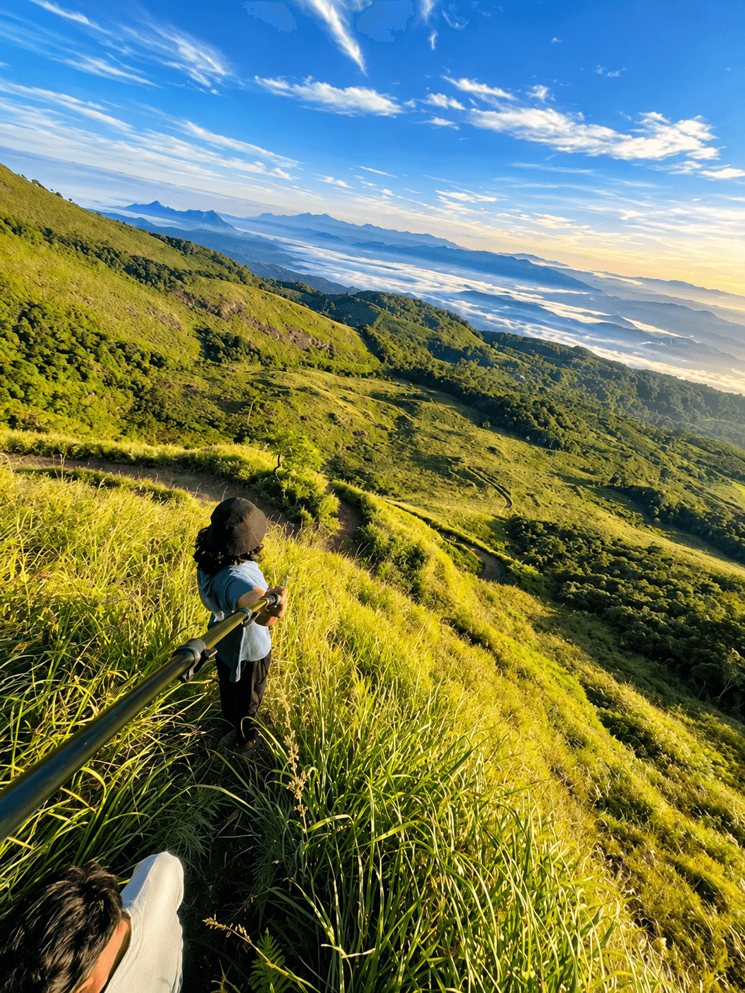
For hikers, the network of private estate service roads and footpaths offers miles of peaceful, unmotorized walking. The gradients range from gentle hillside contours to heart-pumping climbs toward mountain gaps. Because these paths are elevated above the cloud line, hikers frequently find themselves walking under bright sunshine while looking down upon an endless sea of white cumulus clouds filling the valleys below.
Chapter 6: Avian Diversity & Highland Birdwatching Encounters
Suriyakanda is an essential pilgrimage for serious birdwatchers and ornithologists exploring southern Sri Lanka. The meeting point of montane cloud forest and sub-montane tea country creates an exceptional ecological ecotone supporting rare endemics:
| Bird Species | Scientific Name | Habitat & Behavior | Endemic Status |
|---|---|---|---|
| Sri Lanka Whistling Thrush | Myophonus blighi | Shy, elusive; haunts rushing mountain torrents and dense fern gullies at dawn | Critically Endangered Island Endemic |
| Yellow-eared Bulbul | Pycnonotus penicillatus | Lively, vocal; feeds on wild mountain berries and figs in small flocks | Vulnerable Montane Endemic |
| Sri Lanka White-eye | Zosterops ceylonensis | Flits rapidly through tea bushes and canopy branches in high-energy foraging parties | Island Endemic |
| Spot-winged Thrush | Geokichla spiloptera | Forages quietly through damp leaf litter beneath shaded cloud forest canopies | Near Threatened Endemic |
| Ceylon Scimitar Babbler | Pomatorhinus melanurus | Distinct curved bill; emits resonant musical duets from dense bamboo thickets | Island Endemic |
| Sri Lanka Blue Magpie | Urocissa ornata | Brilliant cobalt blue plumage with crimson bill and legs; moves through dense canopy | Vulnerable Island Endemic |
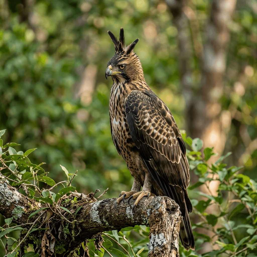
Birding in Suriyakanda is most rewarding between 6:00 AM and 8:30 AM, when bird parties (*mixed-species feeding flocks*) sweep through the forest edges. Flocks of vibrant Orange Minivets, Velvet-fronted Nuthatches, and endemic Layard's Parakeets create a dazzling spectacle of color and acoustic diversity that contrasts completely with the savanna birding of Udawalawe.
Chapter 7: The Colonial Planters Heritage & The Rakwana Tea Legacy
The history of Suriyakanda is intimately tied to the dramatic transformation of the island's economy in the late nineteenth century. Following the catastrophic devastation of Sri Lanka's coffee industry by the fungus Hemileia vastatrix (the infamous "Coffee Rust" blight of the 1870s), pioneering Scottish and British planters ventured into the rugged, untamed mountains of Rakwana to introduce Camellia sinensis (tea). Carving estate boundaries out of dense mountain wilderness required extraordinary physical resilience.
Remnants of this colonial era still dot the landscape: arched stone bridges built with lime-and-egg mortar, meticulously engineered gravity-fed mountain aqueducts, and atmospheric stone planter's bungalows perched on commanding ridge tops surrounded by manicured rose gardens and ancient cypress trees. Many of these historic bungalows have been preserved, retaining their high wooden ceilings, working stone fireplaces, brass fittings, and panoramic veranda views where nineteenth-century superintendents once sipped morning tea while surveying their emerald empires.
The engineering of the Rakwana-Suriyakanda road itself is a monument to late-Victorian civil engineering. Navigating the treacherous mountain face required carving deep cuts into solid granite rock faces. The famous hairpin bends (*Dahasgala* or "Ten Bends") were laid out with gentle gradients that allowed horse-drawn carriages and steam-powered bullock tractors to haul heavy chests of processed tea from the mountain factories down to the southern rail lines and shipping ports.
Chapter 8: Trekking Routes & Adventure Itineraries
Suriyakanda offers numerous hiking trails catering to different fitness levels. Implement these field-tested routes for your mountain excursion:
1. Route A: The Rakwana Gap Panoramic Stroll (Easy – 3 km)
A gentle, family-friendly walk that follows the old colonial carriage road winding along the eastern rim of the escarpment. With minimal elevation gain, this route provides constant panoramic views over the Rakwana valley and the southern plains below. Numerous natural roadside springs offer refreshing mountain water, and rustic tea kiosks provide hot cups of freshly brewed ginger tea along the way.
2. Route B: The Gongala Peak Summit Trek (Moderate to Challenging – 8 km round-trip)
For more ambitious hikers, the trail to the radar station and summit of Gongala Peak is an exhilarating journey. The path ascends steeply through upper tea divisions before plunging into pristine cloud forest ridges. Hikers must navigate muddy root networks and narrow rocky ledges. The payoff is absolute: standing on the windswept summit of Gongala with unobstructed 360-degree vistas stretching across Sabaragamuwa, Southern, and Uva provinces.
3. Route C: The Morningside Cloud Forest Boundary Trail (Moderate – 6 km)
Departing from Suriyakanda junction, this trail heads south toward the buffer zone of the Sinharaja reserve. Hikers traverse clearings of wild tree ferns, cross crystalline mountain streams, and enter deep mossy forest canopies. This route is particularly famed for butterfly encounters, including sightings of the rare Five-bar Swordtail and endemic Tree Nymph.
Chapter 9: Essential Mountain Trekking Gear & Field Checklist
The montane climate of Suriyakanda requires distinct preparation compared to lowland safaris. Pack these critical items:
- Layered Windproof Apparel: Weather at 1,000 meters can shift from warm sunshine to chilly cloudbursts in minutes. Pack a breathable base layer, a warm fleece mid-layer, and a waterproof, wind-resistant outer shell jacket.
- Traction Hiking Boots: Estate paths and jungle trails can be slick with damp clay or loose gravel. Sturdy trekking shoes with aggressive Vibram or rubber lugs provide essential grip.
- Leech Prevention: The humid margins of Sinharaja harbor terrestrial leeches (*Haemadipsa zeylanica*), especially during damp weather. Wear knee-high cotton leech socks and apply citronella oil or eucalyptus spray around your ankles.
- Optical Equipment: High-quality binoculars (8x42 or 10x42) and camera lenses with weather sealing are crucial for capturing distant raptors, canopy endemics, and mist-shrouded valley panoramas.
- Thermal Flask: Carrying a vacuum-insulated flask filled with hot tea or coffee transforms a chilly summit rest stop into an unforgettable luxury experience.
- Navigation & Power Bank: Cell phone signals can be intermittent along the mountain ridges; carry an offline GPS map app (such as OsmAnd or Maps.me) and a reliable 10,000mAh power bank to keep devices charged in the cold air.
Chapter 10: Harmonious Day Tour Scheduling from Udawalawe
To maximize your vacation time, combine the wildlife of Udawalawe with the mountain majesty of Suriyakanda into an extraordinary single-day itinerary:
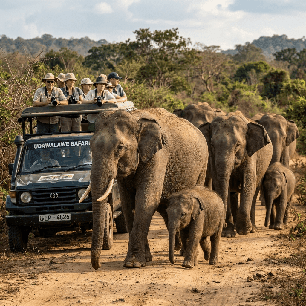
- 5:30 AM to 9:30 AM – Dawn Safari in Udawalawe National Park: Witness wild elephants, spotted deer, and water birds in the crisp early morning light of the savanna.
- 9:30 AM to 11:00 AM – Brunch & Departure Preparation: Return to your Udawalawe hotel, enjoy a nourishing breakfast, change into mountain trekking apparel, and check daypacks.
- 11:00 AM to 12:15 PM – Scenic Mountain Drive to Suriyakanda: Journey along the A18 and A17 highways, climbing through the Rakwana hairpin turns as the air cools dramatically.
- 12:15 PM to 1:30 PM – Tea Plantation Walk & Picnic Lunch: Stroll through emerald tea estates and enjoy a packed picnic overlooking the sweeping valley panoramas.
- 1:30 PM to 3:30 PM – Cloud Forest Trek & Birdwatching: Explore the Morningside forest margins, observe endemic montane flora, and search for highland bird flocks.
- 3:30 PM to 4:45 PM – Tea Factory Guided Tour & Tasting: Visit a historic colonial tea factory, observe the leaf-drying process, and sample artisanal Ceylon black teas.
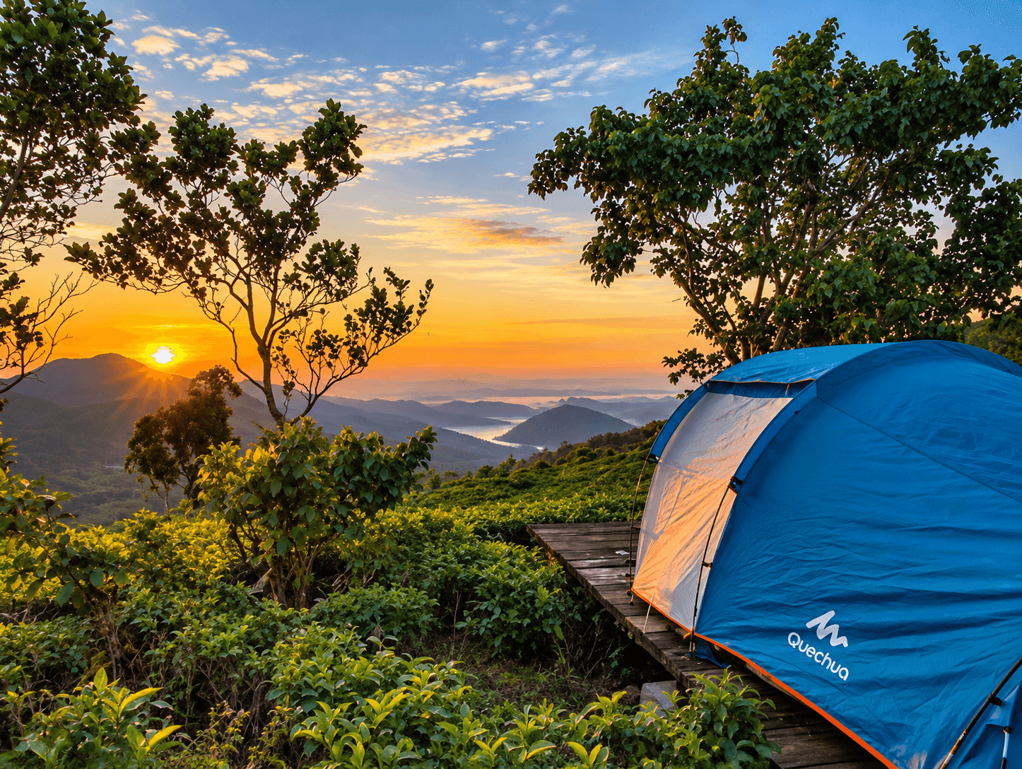
- 4:45 PM to 6:00 PM – Sunset Descend through Rakwana Gap: Witness the golden hour sun painting the mountain mist in amber hues as you descend back to the plains of Udawalawe.
- 7:30 PM – Evening Dinner & Reflection: Enjoy a relaxing Sri Lankan curry dinner back at your safari resort while reliving the contrasts of savanna and cloud mountain.
Chapter 11: Culinary Delights of the Mountain Borderlands
The culinary traditions of the Rakwana-Suriyakanda mountains reflect a rich fusion of Sabaragamuwa rural heritage and estate plantation culture. After a brisk mountain hike, travelers can savor distinctive local treats that are unique to these highlands:
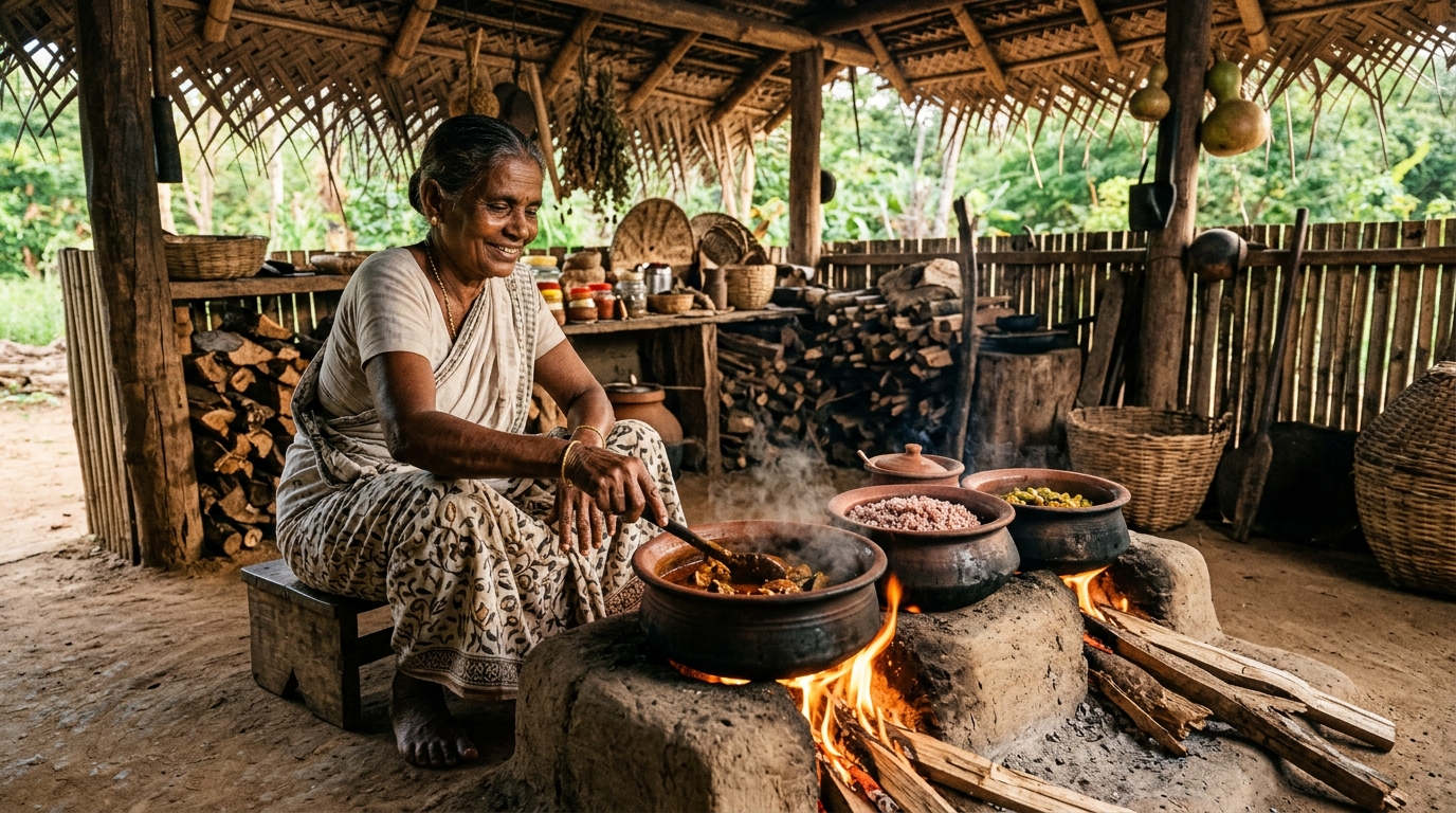
Chief among these is warm *Pol Roti* (rustic flatbread made with freshly grated coconut, whole wheat flour, and chopped shallots), toasted on hot iron griddles and served alongside fiery *Katta Sambal* (crushed dried red chili flakes, Maldive fish, and lime juice). In estate villages, local tea shops serve authentic *Ulundu Vadai*—crispy, golden lentil fritters spiced with curry leaves and green chilies—paired with piping-hot sweet cardamom tea brewed from freshly processed estate dust. For sweet accompaniments, regional roadside vendors sell wild mountain honey gathered from rock cliff beehives, as well as dense cubes of pure kithul jaggery that melt in your mouth.
Another beloved regional specialty is *Kurakkan Thalapa* (dense finger-millet dough balls), eaten by rolling bite-sized pieces with your fingers and dipping them into spicy, piping-hot *Kukul Mas Mirisata* (village free-range chicken curry simmered with roasted curry powder, green chili, and thick coconut milk). The earthy, wholesome nutrition of finger millet provides the sustained slow-release energy that mountain tea farmers and trekkers have relied upon for generations.
Chapter 12: Environmental Conservation & Sustainable Tourism Protocols
Because Suriyakanda and the adjacent Morningside reserve represent one of the most fragile microclimates in Sri Lanka, visitors must uphold rigorous environmental stewardship standards:
- Zero Plastic Footprint: Carry reusable aluminum or stainless steel water bottles. Single-use plastic bottles and polythene snack wrappers are strictly prohibited on forest trails.
- Stay on Established Footpaths: Straying off demarcated estate paths accelerates hillside erosion and damages fragile root networks of mosses and endemic orchids.
- Respect Local Estate Communities: When photographing tea pluckers and village artisans, always request polite permission beforehand, and support local family stalls by purchasing fresh fruit and artisanal teas.
- Preserve Acoustic Silence: Avoid portable Bluetooth speakers or shouting while trekking. Natural acoustics allow you to hear approaching bird flocks and preserve the meditative peace of the mountains.
- No Plant or Specimen Removal: Collecting wild orchids, ferns, or amphibian specimens is strictly forbidden under the Sri Lanka Flora and Fauna Protection Ordinance. Leave every biological marvel untouched for future generations to cherish.
Chapter 13: Frequently Asked Questions (FAQ)
Q1: How far is Suriyakanda from Udawalawe National Park?
Suriyakanda is located approximately 45 kilometers northwest of Udawalawe, requiring an exhilarating 60 to 75-minute drive via the winding mountain roads of the Rakwana-Suriyakanda highway (A17). The road passes lush paddy terraces before climbing through mountain tea estates.
Q2: What is the elevation and temperature like at Suriyakanda?
Suriyakanda sits at an elevation of 1,050 meters (3,445 feet) above sea level. Temperatures range comfortably between 17°C and 23°C, offering a crisp, refreshing mountain breeze compared to the 32°C heat of the plains below.
Q3: Can we visit the Sinharaja Rain Forest from Suriyakanda?
Yes! Suriyakanda is the eastern gateway to the Sinharaja Forest Reserve. The Morningside Forest Reserve and eastern Sinharaja research stations are directly accessible from the high ridges of Suriyakanda, offering access to rare montane cloud forest habitats.
Q4: Is the road to Suriyakanda suitable for standard cars?
The main A17 road over the Rakwana pass is paved with modern tarmac and suitable for cars and vans, featuring famous hairpin bends (Dahasgala). However, reaching rugged off-road peaks like Gongala requires a high-clearance 4WD vehicle due to unpaved gravel estate tracks.
Q5: What should I wear when traveling to Suriyakanda?
Bring a light fleece jacket or windbreaker, as mountain winds and sudden cloud mist can feel chilly. Sturdy walking shoes or trail runners are recommended for walking along estate trails and moist forest paths.
Q6: What is the Rakwana Gap viewpoint?
The Rakwana Gap is an astounding geographical precipice where the central mountain escarpment drops abruptly into the southern dry-zone plains, offering panoramic 180-degree vistas stretching all the way to the Indian Ocean on clear mornings.
Q7: Are there tea factories you can visit in Suriyakanda?
Yes, several high-elevation artisanal Ceylon black tea factories operate in Rakwana and Suriyakanda, offering visitors guided tours detailing tea leaf plucking, withering, rolling, oxidation, and tea tasting.
Q8: What birds can be seen in the cloud forests of Suriyakanda?
The highland zone is home to rare montane endemics including the Sri Lanka Whistling Thrush, Yellow-eared Bulbul, Sri Lanka White-eye, Spot-winged Thrush, and Ceylon Scimitar Babbler.
Q9: Is it possible to do a day trip from Udawalawe to Suriyakanda?
Absolutely. Many travelers embark on a morning safari in Udawalawe, return for brunch, and take an afternoon scenic drive to Suriyakanda to experience the dramatic climate change and sunset over the misty peaks.
Q10: What does the name Suriyakanda mean?
In the Sinhala language, 'Suriya' means Sun and 'Kanda' means Mountain, translating literally as 'Sun Mountain'—named because its high eastern peak captures the very first rays of sunrise above the clouds.
.png)